


Salt Lake City Green Loop
Salt Lake City, UTA proposed 5.5-mile downtown loop reimagines city-owned streets as an active green corridor while creating an urban forest and managing stormwater.
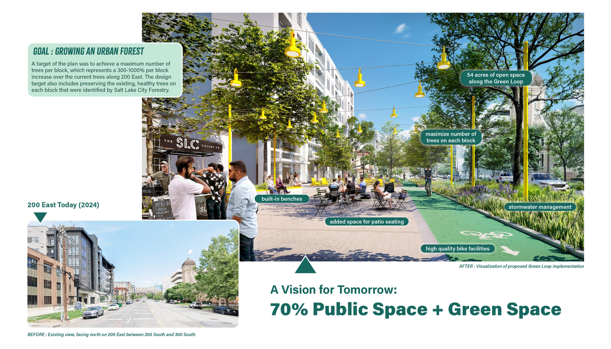
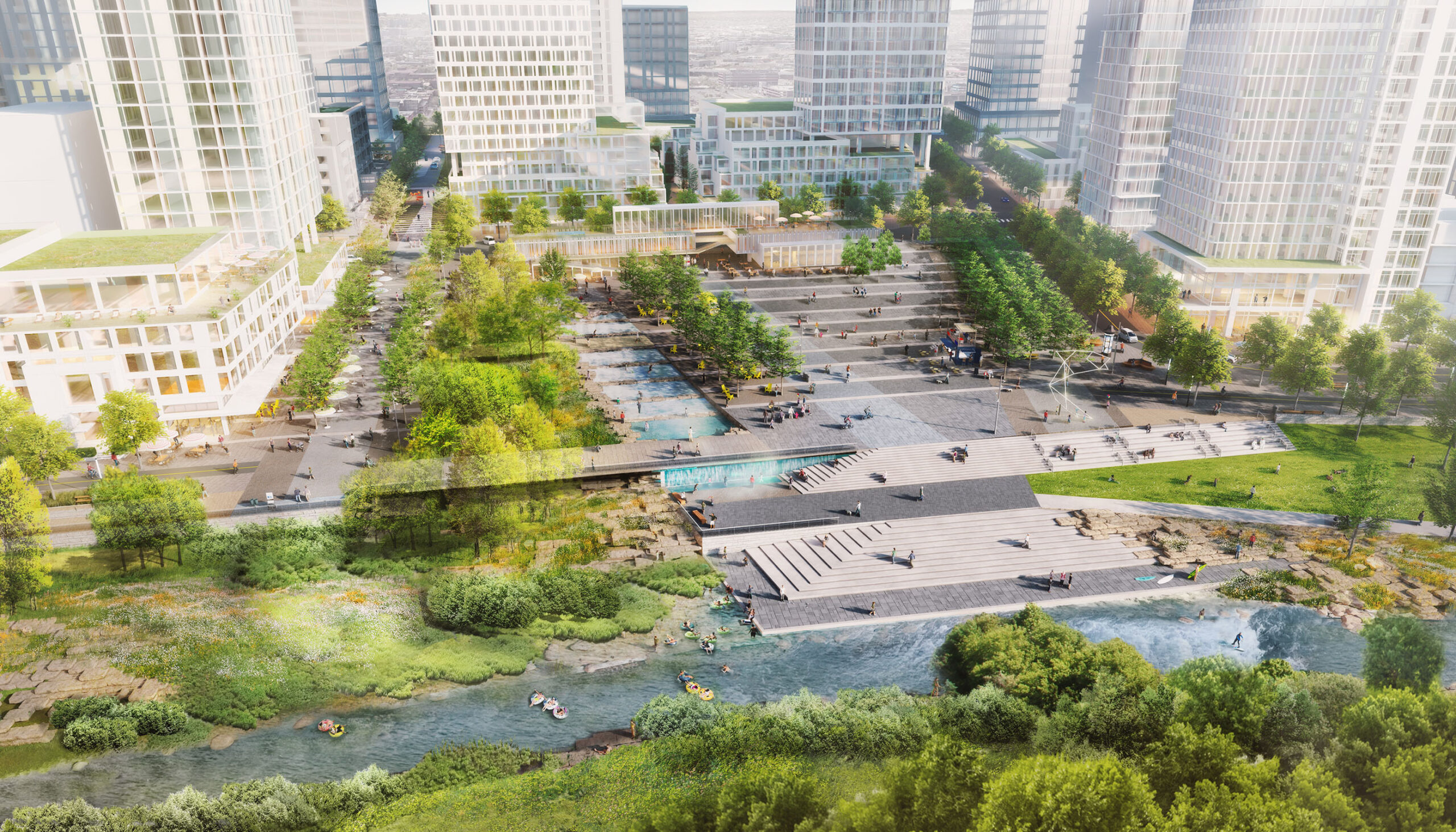
Salt Lake City is home to one of the fastest-growing downtowns in the United States. With an anticipated addition of 10,000 downtown residents by 2027, the need for improved public green spaces, including diverse programmatic opportunities, along with more comfortable transportation options for short trips without a car, will be key to the long-term success of Salt Lake City.
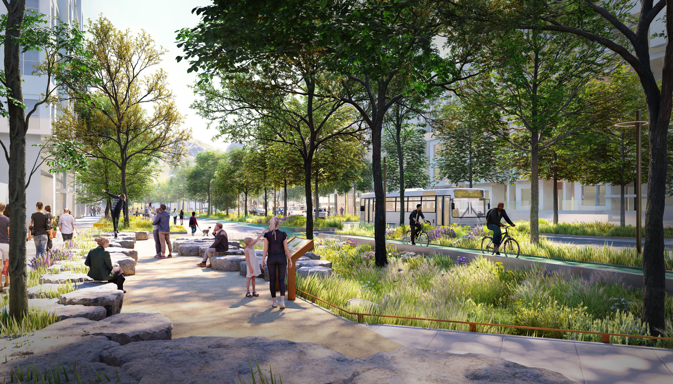
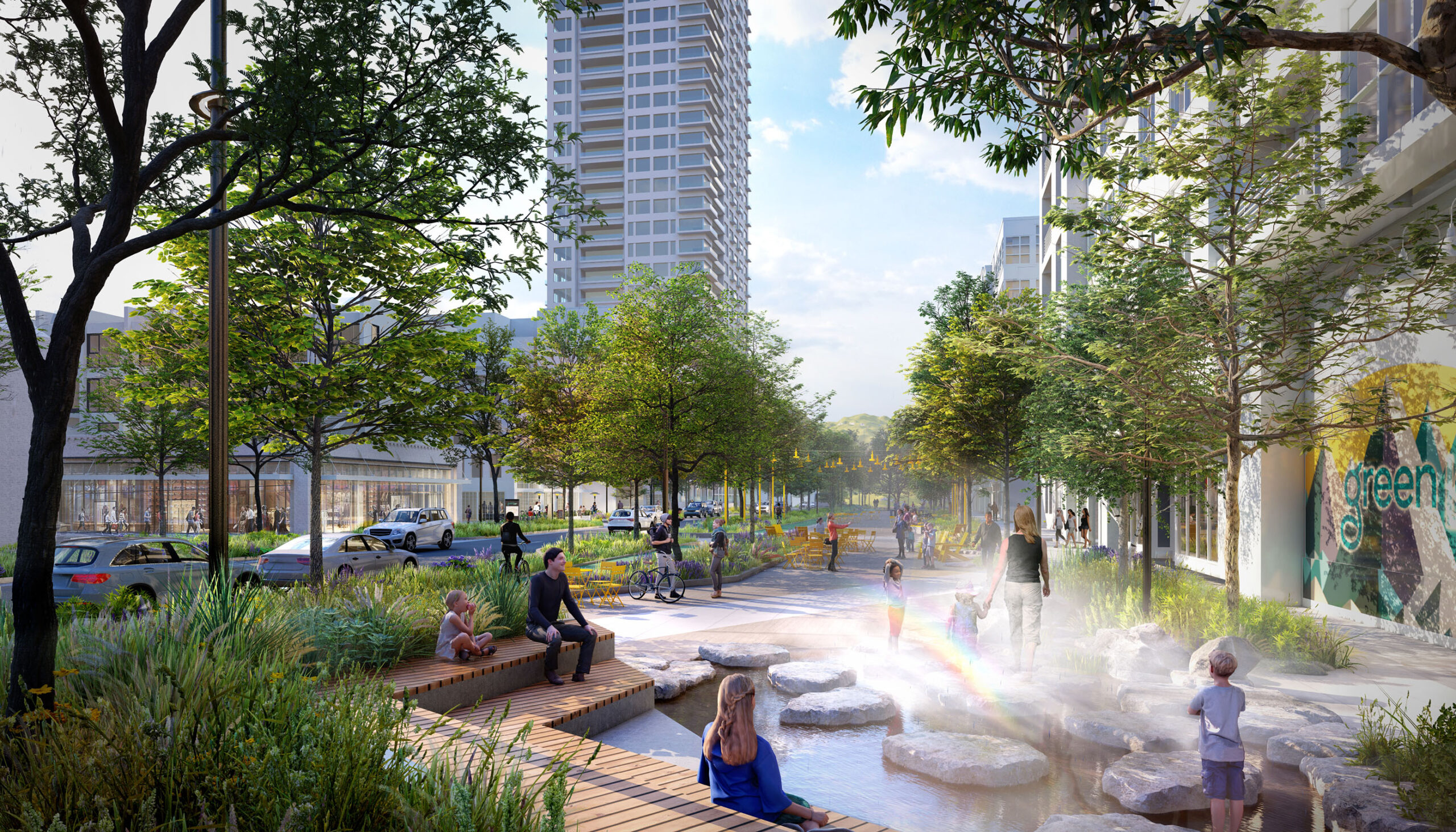
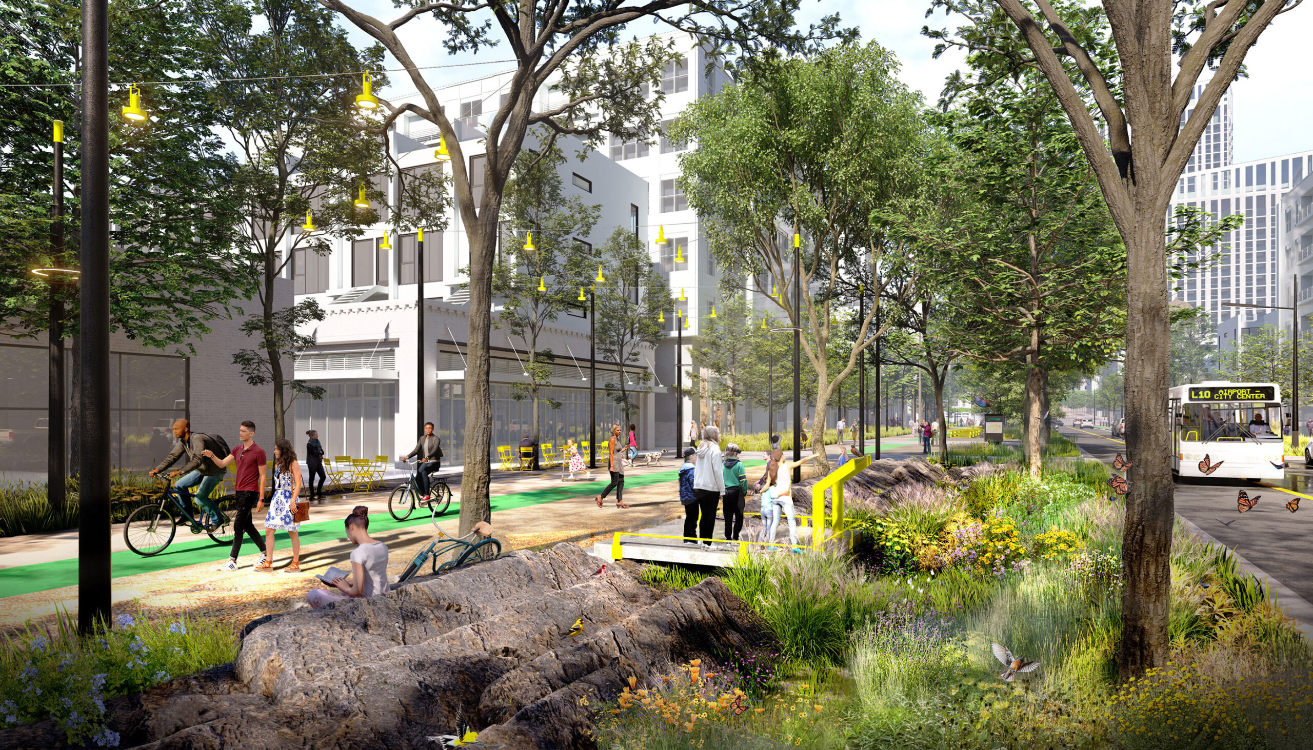
Wenk led a multidisciplinary team to master plan the Green Loop project, which focuses on improving the quality of life for people living, working, and traveling downtown by adapting the existing street space to include family-friendly social spaces, trees, and native planting, and comfortable options for a variety of transportation choices. Green spaces also provide critical ecosystem services and contribute to a more resilient city by managing stormwater, reducing the impacts of heat islands, and improving air quality.
Actualizing these goals required the project team to navigate complicated infrastructure and regulatory challenges. While the identified streets have excess capacity that makes it possible to “right-size” portions of right-of-way currently dedicated to vehicular use, these roadways also act as a conveyance for critical municipal infrastructural systems, including stormwater, sanitary, electricity, gas, and telecommunication systems. The agencies that manage these systems have developed maintenance and operations regimes that work in tandem with the roadway, and alterations to the street itself risk significant impacts to the operations and stability of the physical infrastructure below the street. Addressing these concerns while implementing a paradigm-shifting streetscape project requires the development of novel approaches, requiring meaningful engagement with City agencies throughout the design process and a focus on futureproofing both public and private infrastructure systems as part of the design process.
Project Team:
Wenk Associates – Lead Consultant, Landscape Architects
Alta Planning + Design – Multimodal Transportation
David Evans Associates – Community Engagement
Fehr & Peers – Transportation Planning
Talisman Civil Consultants – Civil Engineering
Construction Control Corporation – Cost Estimating
ETM Associates – Operations & Maintenance
Related Work
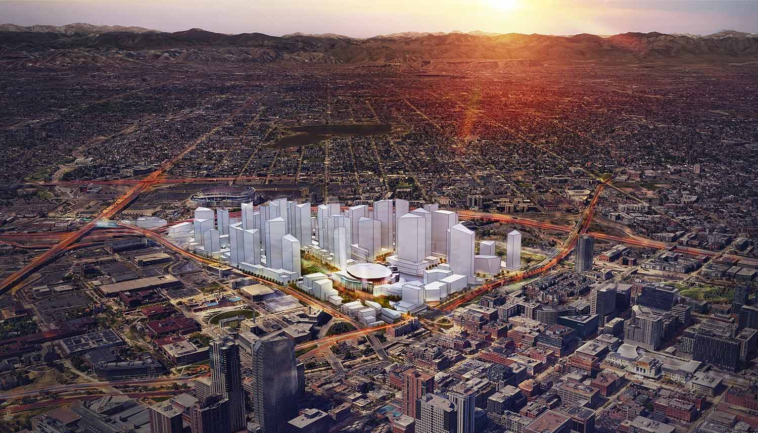
KSE-Ball Arena Redevelopment
Denver, CO
The River Mile Redevelopment
Denver, CO
TAXI Redevelopment
Denver, CO